Satellite
This website presents satellite images covering the North Pacific Ocean, and the Bering and Chukchi Seas. Although these data are available from other sources, we hope that assembling several types of images in one site will make them more readily accessible. More detailed information is included in the linked page.
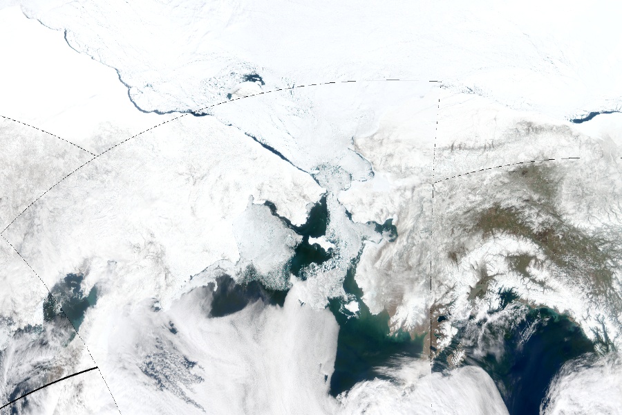
True-Color Images: MODIS (Moderate Resolution Imaging Spectroradiometer, carried aboard the Aqua satellite) "true-color" images are composite photos. Data for these images were obtained from NASA's GSFC (Goddard Space Flight Center). |

|
|
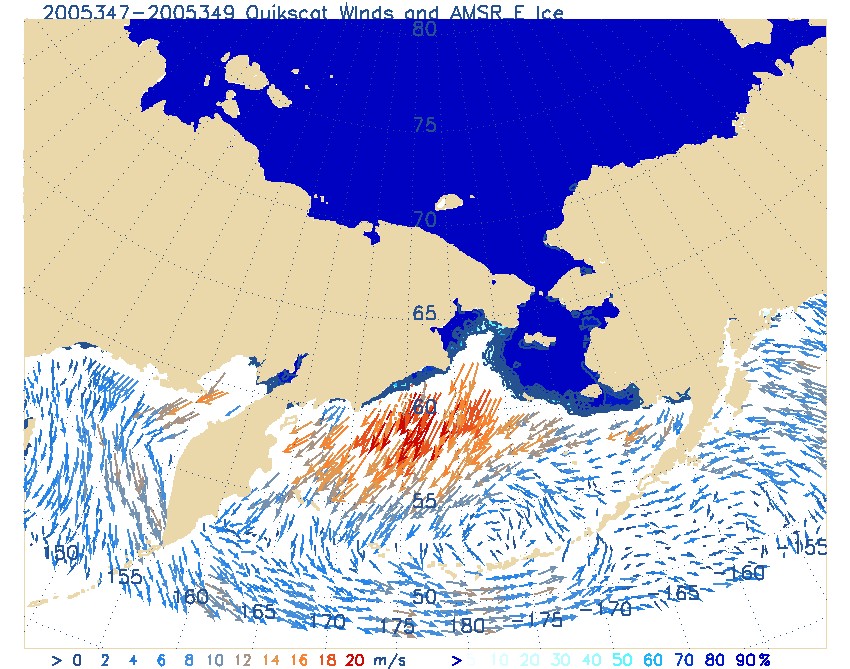
QuickScat Winds and ice, slideshows: |
Data Sources
- NOAA Satellites
- Satellite, Data and Info Service (NOAA/NESDIS)
- Earth Observation Group (NOAA/NGDC)
- European Org. for Exploitation of Meteorological Satellites (EUMETSAT)