The 2023 June Arctic Airborne Investigations and Research crew consisted of staff from NOAA's Pacific Marine Environmental Laboratory, NOAA Office of Marine and Aviation Operations and University of Washington. They flew over the Southern and Central Chukchi Sea and coordinated overflights with R/V Sikuliaq.
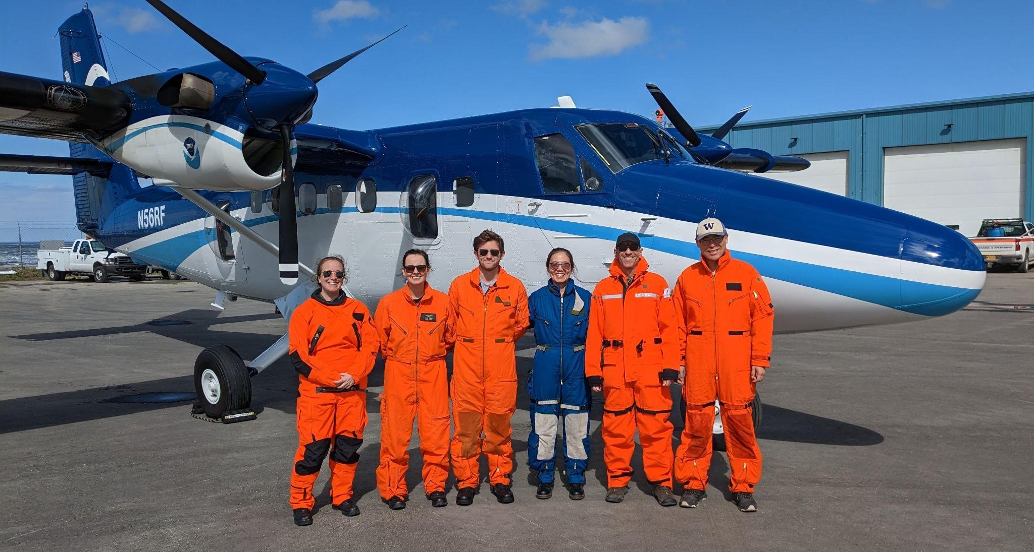
From left to right: Denise Miller (OMAO), Sarah Cozart (OMAO), Nicholas Underwood (OMAO), Jiaxu Zhang (UW/CICOES and NOAA PMEL), Michael Steele (UW/APL), and Zheng Liu (UW/APL). Photo credit: Brent Schoumaker (OMAO)
NOAA and partner scientists recently completed two successful field tests in the US Arctic merging new technologies and traditional ship surveys to assess real-time phytoplankton species distributions in response to surface warming.
The rapid warming of the Arctic Ocean has led to earlier sea ice retreats in spring and later arrivals in fall. This shift has prompted significant changes in phytoplankton communities, which is a critical measurement to understand ecosystem health.
In June 2023, 60 nautical miles of flights were coordinated with a research ship operating in the survey region to use a multispectral camera, the first of its kind. This provided an opportunity for scientists to distinguish phytoplankton species and physical characteristics in the Chukchi Sea.
The team from NOAA and the University of Washington tested a cutting-edge imaging system, to observe distributions of phytoplankton from the NOAA Twin Otter using a hyperspectral camera. The camera uses a sensor that takes many pixelated images that translate to an absorption spectrum based on the colors the phytoplankton reflects. The hyperspectral camera uses reflectiveness of the ocean to identify species and how much area they cover. It can be used to identify phytoplankton groups based on their pigment information. This emerging research method alongside the upcoming launch of the NASA PACE satellite may allow scientists to assess biodiversity in the ocean and in food webs and detect water quality issues such as harmful algal blooms (HABs).
This September 2023, additional flights were coordinated with the NOAA Arctic & Ecosystem Research Cruise on the R/V Sikuliaq to enable comparisons between the aircraft and ocean measurements. Adding in hyperspectral data provides a trifecta of sources to support monitoring of phytoplankton in the region. Satellite imagery can detect possible algal blooms, and ship-based samples can capture images in which species can be identified.
The combination of these technologies may provide the groundwork for the monitoring and managing of algal blooms in the US Arctic.