What's Happening out in the Bering Sea
Click images to see a larger view
May 3, 2010:
We arrived in Dutch Harbor, Alaska yesterday, finished with our work for this cruise. Now is the time to unload our gear, gather up our data, pack our clothes, and get that cruise report started, while scientists for the next cruise arrive and get set up. The next cruise is more biology oriented and run by our EcoFOCI colleagues at NOAA's Alaska Fisheries Science Center in Seattle. One thing they will collect is Ichthyoplankton, eggs and larvae of fish.
Bill, our mooring and tech guy will go with them to try and complete deployment of the moorings that did not get done because of that ice problem. Brrrrr, it's a cold Spring.
We don't usually see other ships when we are out working, even fishing boats or crab boats like those on "Deadliest Catch", though there are plenty near Dutch Harbor and Kodiak. The Bering Sea is huge. The part we work in is called the Bering Sea shelf, and is relatively shallow part of the ocean, at 100 meters deep or less. We are often in the areas that are between 50 meters and 100 meters deep, called the Middle Shelf or Middle Domain. You can see this area on the map between the 50-meeter and 100-meter isobaths.
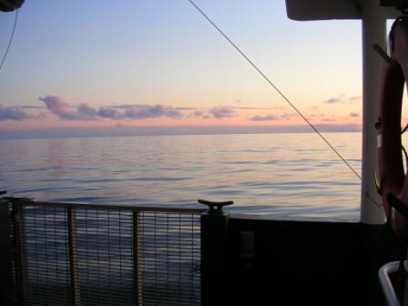
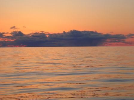
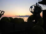
Sailing back from a cruise you have a sense of heading home with your work done, data and samples to show for your effort. It is a time of packing up, revisiting the events of the cruise, and watching that last sunrise or sunset.
 |
 |
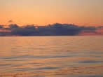 |
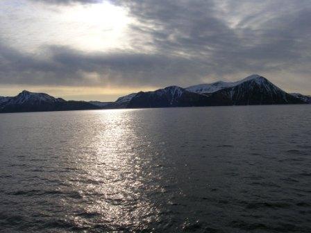
| Sunsets at the end of our Oscar Dyson mooring cruise. Photos by C.DeWitt. |
 |
 |
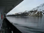 |
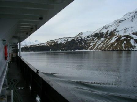
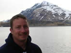
| Coming into Dutch Harbor.Scott on left. Right photo is along the ship. Photos by C.DeWitt. |
April 30, 2010:
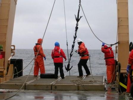
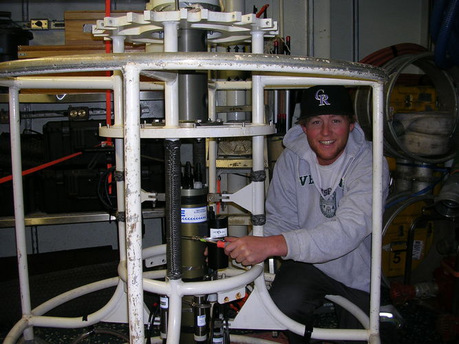
The last few days have been hard work at the M2 mooring site. We recovered 2 smaller moorings, one with an ADCP (Acoustic Doppler Current Profiler). We found the largest of our moorings damaged. Initially the release that frees the chain of instruments from the bottom did not respond to our communications signal. Finally we did get a signal, but all was not as we expected. The instruments were on the bottom, and we were not sure if they were all there. We dragged the bottom hoping to hook part of the chain and pull up our instruments. They contain all the data collected since they were deployed last fall. We managed to recover the bottom half of the mooring. We have not given up on the other half of the mooring yet. When we get the instruments on board the ship we can do some detective work to figure out when the instruments fell. We can tell this by pressure values that correspond with depth numbers, and via some other data clues.
On the map for our cruise we have added locations for M2 and M4 mooring sites. Both of these are near 70 meters of depth. The map has a line marked "70m" (also 50m, 100m 1000m) and this is called the 70-meter isobath. "iso" means same or similar and "bath" is bathymetry, witchi is the depth of the water. You might notice that the ship's track has been very close to M2 for a few days. This has been the time we've worked on recovering the moorings and trouble-shooting the fallen one. We are also spending more time here because we have tried to go further north to M4 and a north wind has blown ice into the path so we cannot get through to do work at the M4 mooring.
April 29, 2010:
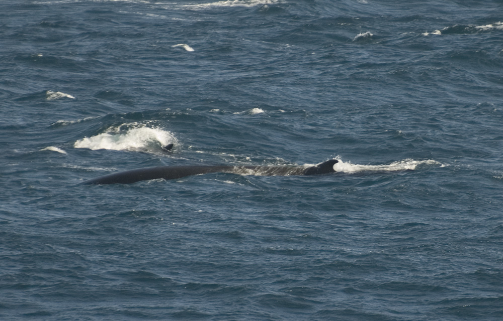
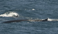
Aaron Lang, a seabird observer for the U.S. Fish and Wildlife Service has sent us some images. He said that in the last few days they have seen mostly Black-legged Kitiwakes, Common Murres, Parakeet Auklets, Glaucous Gulls and Glaucous-winged Gulls. Yesterday they saw Bearded seals, Ringed Seals and Gray Whales. Grey whales can be up to 16 meters length, and Fin whales up to 27 meters length. Compare this to the largest whale, the Blue Whale that can be up to 33 meters long. How huge! All of these are baleen whales.
 |
 |
 |
 |
| Fin whales off the Alaska Peninsula. Photo by A.Lang |
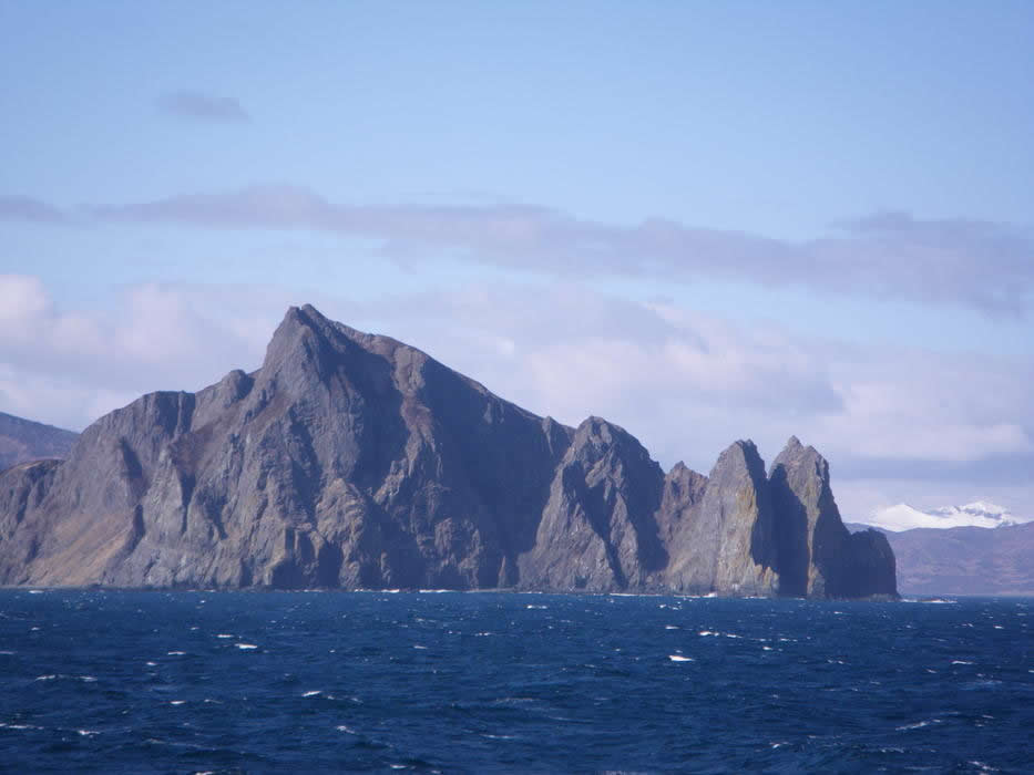
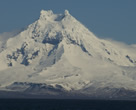
Isanotski Peaks. Photo by A.Lang |
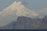
The Ikatan Peninsula juts out in front of the Isanotski Peaks. Photo by A.Lang |
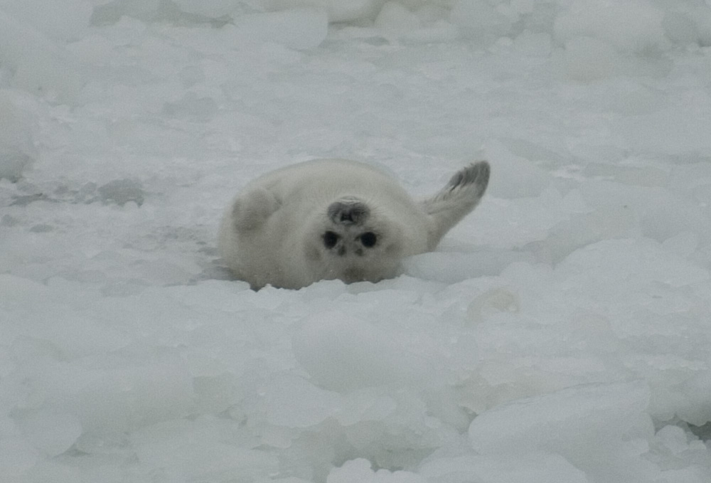
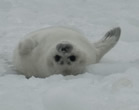
Baby ringed seal. These are seen on Bering Sea and Arctic ice. Photo by A.Lang |
Weather conditions in the southeastern Bering Sea, the location of the Oscar Dyson, are very cold with high winds. We usually expect that ice cover is minimal and is retreating north and melting at this point in the Spring. We are seeing an unusual amount of ice; extensive coverage even though the ice is not too thick. Ice has been reported at St. George Island in the Pribilof Islands, a very unusual occurrence for this time of year. In some years St. George sees no sea ice in the winter.
April 27, 2010:
The ship had to slow down considerably last night due to the rough seas.
Even though the ship slowed down, no one mentionedgetting much sleep. One of the crew said that there was a loose pipe -
inaccessible - clatterring every time the ship rolls and pounds with the waves. You can imagine trying to sleep while a pipe clatters
from one side of the room to the other!
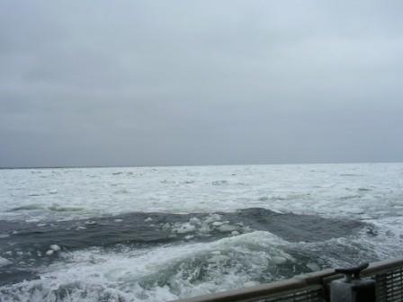
We are on the way to our mooring site 2 - the one where we will deploy a surface mooring (PEGGY) - eventually. Do you know why we named our surface mooring PEGGY? As we approach the mooring site, we are seeing bands of sea ice.
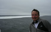 |
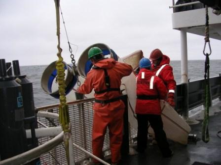
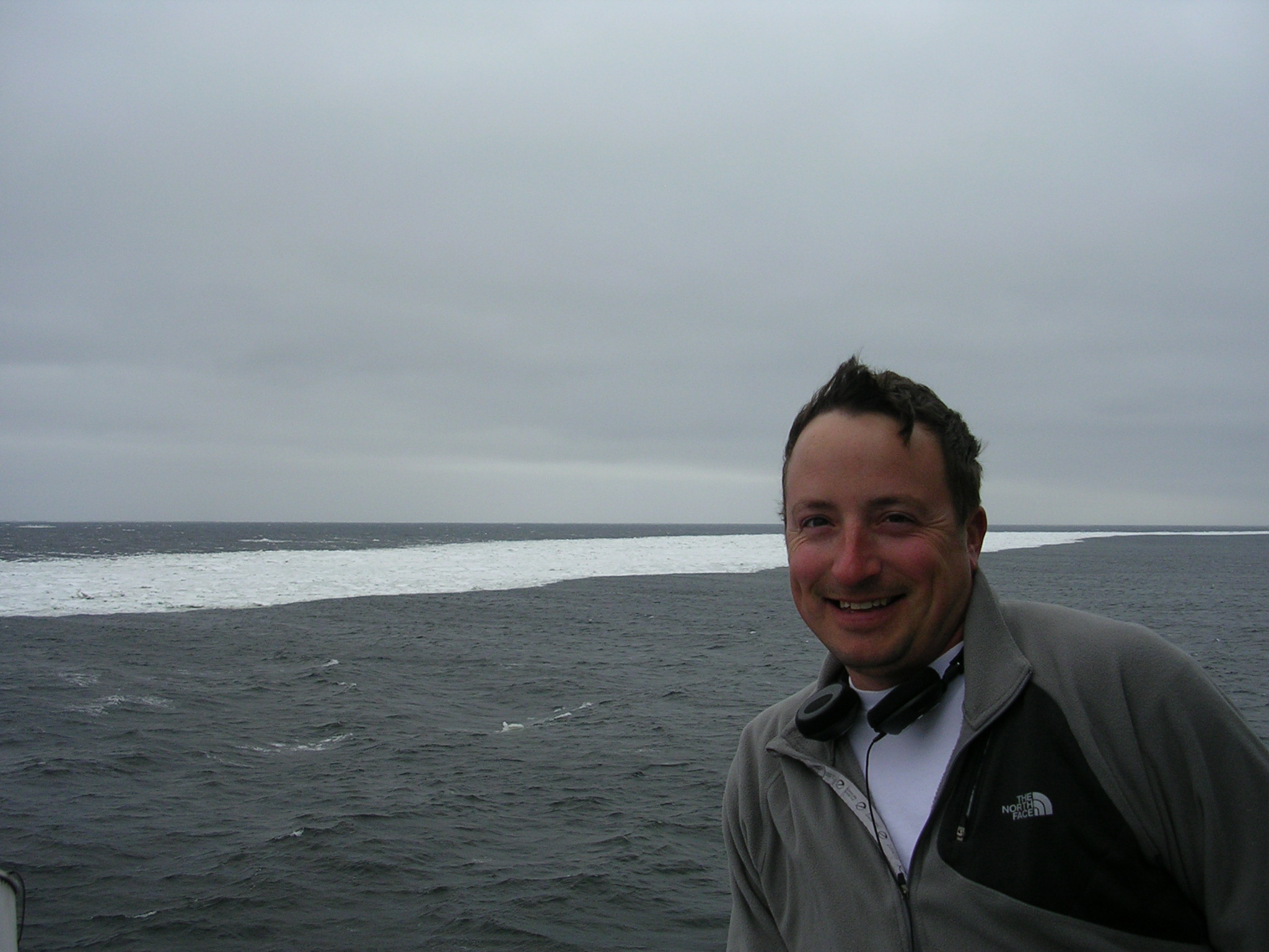
| On of the Science Crew, Scott is on deck as we approach sea ice |
The temperature is -6 degrees C (21°F), wind at 30 knots, wind chill -30 degrees F. Our surface mooring
could sustain significant damage and even be moved by the ice, so we don't want to deploy PEGGY until we have the best chance for a successful
deployment.
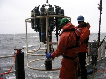
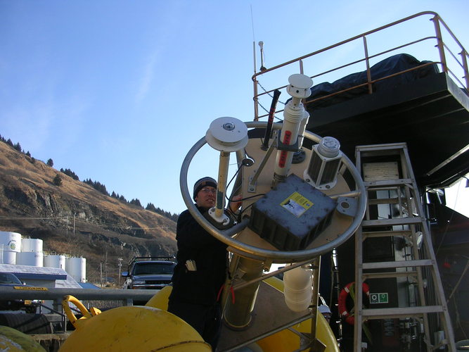
Before we deploy the moorings, we will recover two subsurface moorings at site 2 that have been in the water since September.
There are all sorts of instruments measuring the water properties such as temperature, conductivity, currents, fluorescence, nitrates.
One of the moorings has an instrument that is listening for whales.
The sensors that listen for whales are like underwater microphones called hydrophones. The hydrophones allow us to listen for whales, seals, and walrus
that are present in the area. Sometimes we can hear fish too! Yes, fish make sounds, but they are much quieter sounds compared to whales. By listening
to the enviornment, we can also learn about the wind speed, rain, snow, and ice conditions.
Another set of instruments on the mooring are active acoustic sensors, or echosounders. These instruments are similar to the technology that people have
on their boats to see how far the bottom is or find schools of fish. The difference between those and our echosounders is that ours are at the bottom of the ocean
looking up towards the surface. This allows us to see all the fish and zooplankton in the water column between the echosounder and the surface. Knowing when and how
much zooplankton and fish are around for marine mammals and birds to eat helps us learn more about how different levels of the food chain interact.
April 26, 2010:
We have turned around another mooring at the "Crab Site" in Bristol Bay. The location is 160°59.4' W, 56°29.9'N, and the water depth is 60 meters. Additionally, we deployed 10 drifters in pairs. These are tracked by satellite.
April 25, 2010:
We arrived at Pavlof Bay at night and turned around the mooring in the
middle of the night. We don't usually do moorings at night, but the conditions were good and we wanted to save cruise time. "Turning around a mooring" means pulling a mooring out of the water, and replacing it, usually with a similar mooring. Data are collected from instruments on our moorings as time series, i.e. continuous over time. We are now headed toward Unimak Pass in the Aleutian Islands where we will cross into the Bering Sea. We expect to arrive at the Pass in the early afternoon.
 |
 |
 |
 |
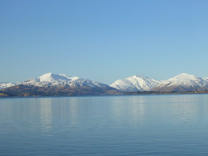
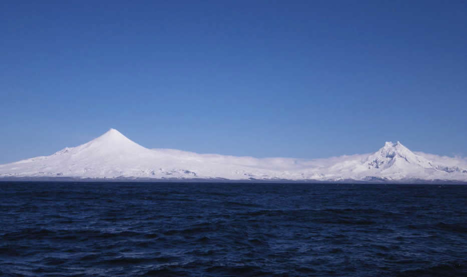
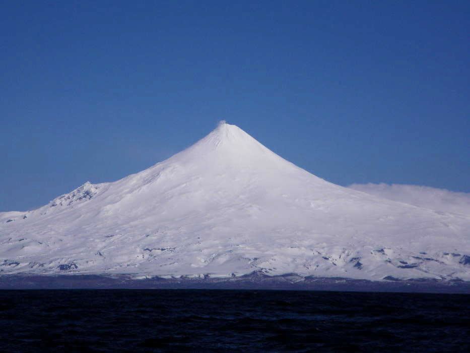
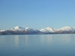
| Mountains along the Alaska Peninsula. Photo by C.DeWitt |
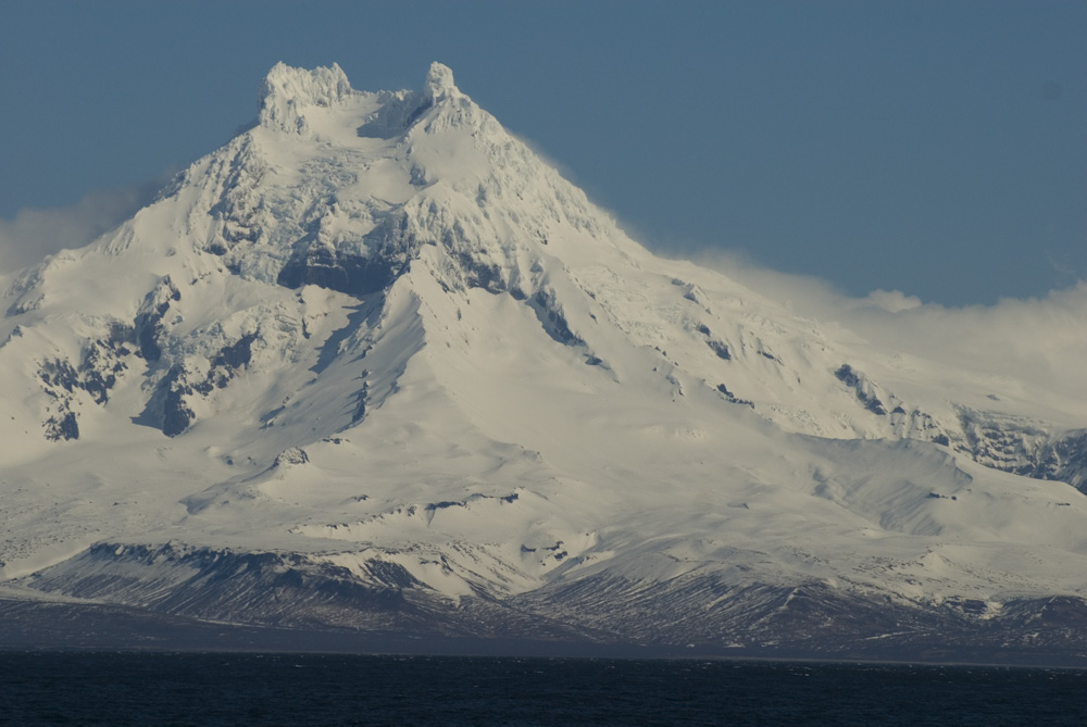
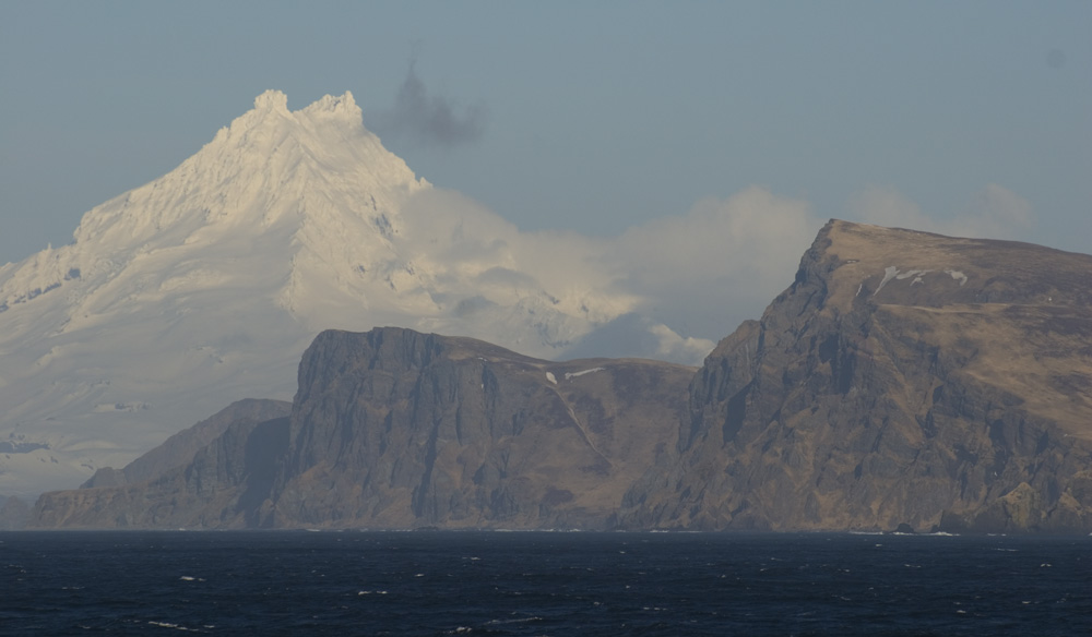
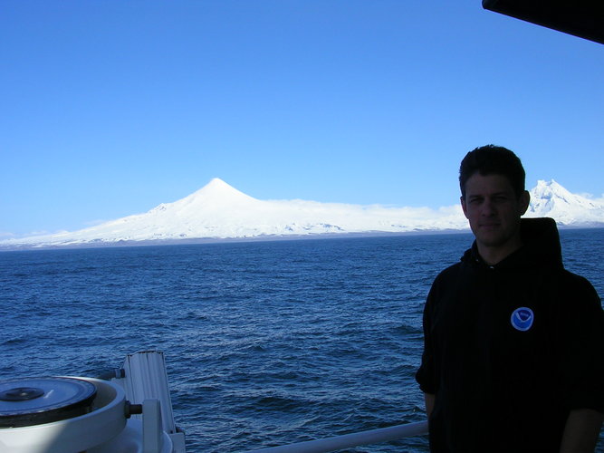
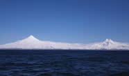
Mt. Shishaldin and Isanotski Peak on Unimak Island. Photo by
D.Strausz. |
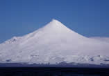
A closer view of Mt. Shishaldin, a volcano . Photo by D.Strausz |
A view along the way, the Alaska Peninsula. Photo by D.Strausz. |
April 24, 2010:
The weather is still holding and we are headed toward
Pavlof Bay to deploy a mooring. Pavlof Bay is on the Gulf of Alaska side of the Aleutian Islands. We are expecting to arrive there tomorrow morning.
April 23, 2010:
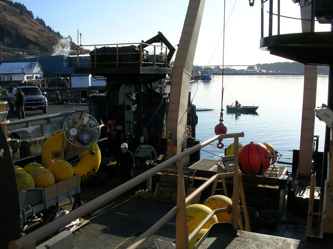
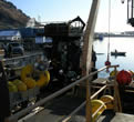
As you can tell the day has been sunny and beautiful. We have been in Kodiak for a couple of days loading the ship with equipment, food and personal gear for our journey. The photos below may give you an idea of the preparatory work we are doing. Today we leave Kodiak Island and head southwest toward the Alaska Peninsula and Aleutian Islands to begin our work.
 |
 |
 |
 |
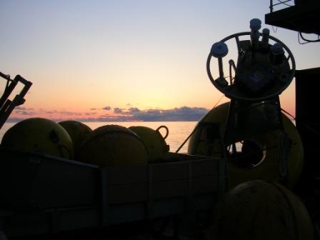
| Back Deck of the Oscar Dyson in Kodiak, Alaska, loaded with components for our moorings. |
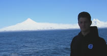
Captain Hoshlyk of the Oscar Dyson, with Mt. Shishaldin in the background. |
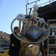
Dave Strausz one of the Scientists works with the mooring we call "Peggy". |
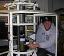
Robert, a Survey Technician onboard the ship, is setting up the CTD. |