
Drifter Data Information
connect to data and animations
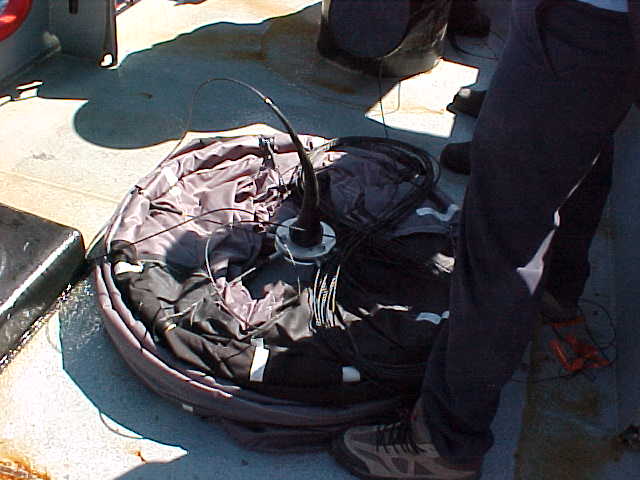
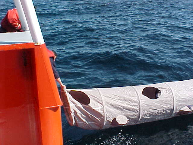
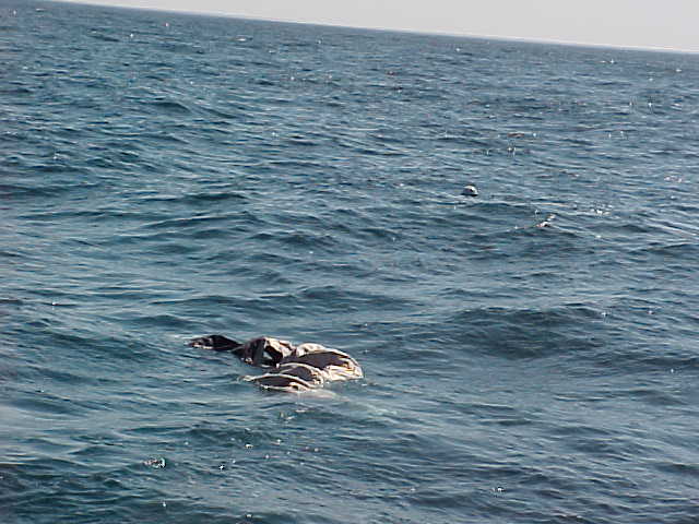
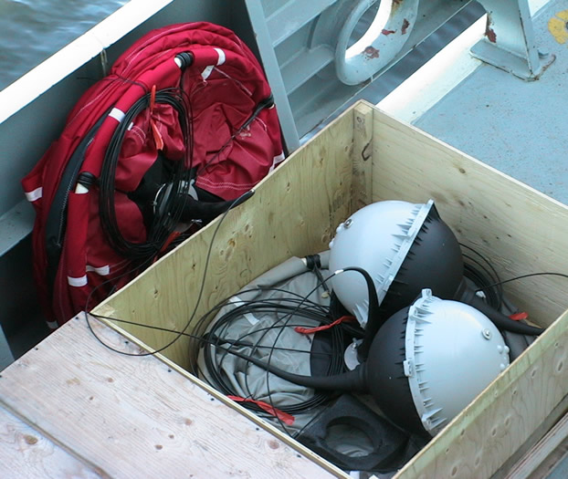
Free-floating satellite-tracked lagrangian drifters are deployed as part of the EcoFOCI oceanographic research effort. Drifters are drogued at 25 or 40 meters depth, eliminating wind influence on drifter movement and resultant data. At northern latitudes, an average of 15 positions per day are obtained from satellite-based Argos instruments, and relayed to NOAA/PMEL via ground-based telemeter stations and processing centers. Drifters are Metocean Holey-sock or Technocean Tristar drogues. We transform incoming data to drifter plots and animations that show along-track motion.
|
|
| Drifter Deployment MOVIE - click arrow | Drifter IMAGES - click for larger image |
|---|---|
    |
| EcoFOCI Project Office NOAA/PMEL and NOAA/AFSC |
|
| 7600 Sand Point Way NE Seattle, Washington 98115 Comments and information |
|