About
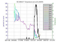
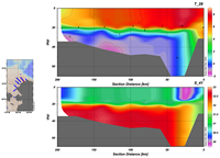
Data are the lifeline of the EcoFOCI project and we maintain data sets, many long-running, acquired through our research efforts and across regions. The major data collections are time-series data from moored instruments that are deployed from 3 to 12 months duration, ichthyoplankton (fish egg & larvae) data from net tows, water-column profile data from CTD instruments, fish haul and catch data from trawl surveys, copepod and zooplankton data, and Lagrangian drifter data.
 Data are processed according to standard protocols, and related metadata are created to ascertain data longevity. On the biological side, many data types with metadata are stored within an internal data archive, ECODAAT. In addition a web-based Ichthyoplankton Information System (IIS) serves fish and egg larvae information from NOAA/AFSC. A map-based web interface at AFSC provides fish data and metadata from Groundfish surveys. Copepod and zooplankton data are served from an interactive database at NMFS named COPEPOD. On the physical oceanography side, an internal archive exists in a Linux directory hierarchy and includes multiple phases of the data from raw to final data products in NetCDF format. A newly-minted ERDDAP archive is available through PMEL and is serving a growing subset of our data including historical Arctic data, a long-running data set in Shelikof Strait (Line 8) and some recent data from the Chukchi Sea. Data are provided to our funding agencies and partners as required by research plans, and some of these are made available to the public. All data and metadata are ultimately bound for a NOAA data center, and NCEI is our “go to” place.
 When opportunity presents itself, we experiment with improved data-collection modes and instrumentation. Within the last few years a number of new data initiatives have been spawned in cooperation with the PMEL Engineering group and commercial partners. We are working with a device called the Prawler that promises to collect next-generation CTD profiles from a mooring using wave energy. The development of a Wave Glider offers inexpensive collection of surface temperature and other surface data from a programmable, remotely-driven surface platform. Finally, the Saildrone is in a second season of testing as it is deployed to sail across the Bering Sea. This autonomous vehicle is controlled from shore using satellite communications, records position, and collects atmospheric and oceanographic parameters. All show promise as additions to the ocean-data-collection toolbox.


